FLOOD HAZARD MAPPING OF SELECTED WATERSHEDS ACROSS THE KARNALI, MAHAKALI AND RAPTI RIVER BASINS
Publication Files
| Action | Filename | Original Name | Size | Mime Type | Action |
|---|---|---|---|---|---|
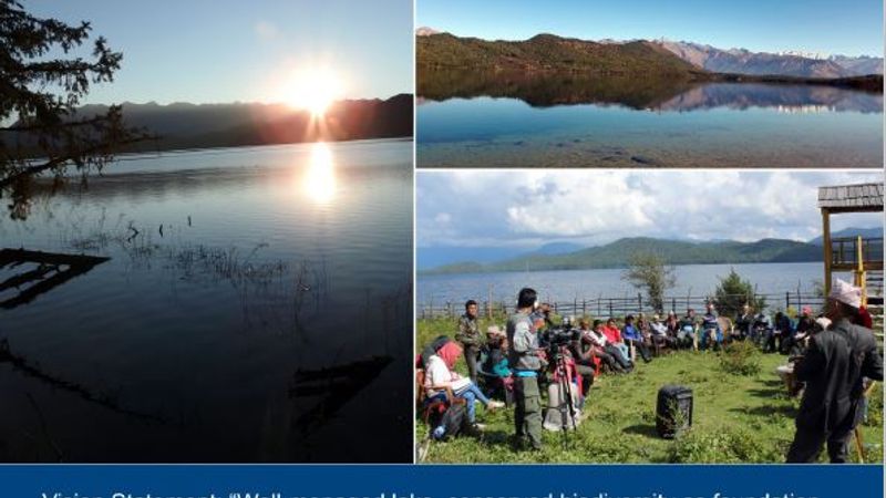
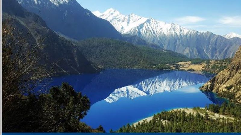
| Download | pub_1628443685961.jpg | Lower_Karnali small size.jpg | 2.74 MB | image/jpeg | |
| Download | pub_1628443689384.jpg | Lower_Mahakali (1) small.jpg | 5.25 MB | image/jpeg | |
| Download | pub_1628443694287.jpg | MiddleRapti small.jpg | 6.05 MB | image/jpeg | |
| Download | pub_1628443700012.jpg | Rangun small.jpg | 5.88 MB | image/jpeg | |
| Download | pub_1628443126400.pdf | Final Report_Paani_Flood Hazard Mapping Aug 2020.pdf | 6.29 MB | application/pdf | View Document |
Publication Details
- Source
- Category
- Technical Reports
- Publisher
- USAID Paani Program
- Contributor
- NATURE’S CONSERVATION PVT.
- Rights
- Language
- English
- Content
- As a country, Nepal is highly prone to natural disasters due to steep, high-relief slopes, complex geology with active tectonic processes, frequent seismic activity, and excessive seasonality in climate. These risk factors are exacerbated by Nepal’s climate change vulnerability, which ranks 4th in the world, according to the Global Climate Risk Index, which assesses the impacts of meteorological events in relation to economic losses and human fatalities (Eckstein et al., 2019). Nepal also ranks 30th in the world and 2nd in South Asia in terms of flood risk (UNDP, 2009 & MoHA, 2015). Overall, more than 80% of the population is exposed to the risk of natural hazards (MoHA, 2017), which include droughts, floods, earthquakes, landslides, extreme temperatures, and glacier lake outburst floods (GLOFs).